Drawing Topography Objects
You can draw contours lines to represent the topography of your lot. Contour lines represent a series of connected points that share the same elevation. You begin by choosing a general shape for your contour, setting the elevation, and then choosing the drawing method. When used together, multiple lines set at varying elevations creates dips or berms in your landscape.
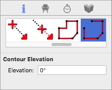
When the tool is active you can set the topography line elevation on the Properties pane in the right sidebar. You can also change the elevation of the topography line after it has been placed in your drawing.
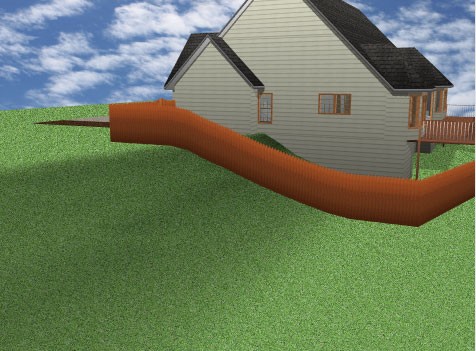
There are a number of drawing methods for creating topography. The default shape is a polygon, which you can draw as an enclosed or open shape. For details on draw methods, see “Detail Plan Tab”. Below is an example of using topography lines to create a berm, where the inner contour lines are set to higher elevations.
Note : Elevations for topography are not cumulative, each is relative to the working elevation of your drawing.
| Below are some references that may be useful as you design |
|---|
| Topography Element Properties AutoSnap and Alignment Options Reshaping and Resizing 2D Objects |
To draw topography lines
1 Choose the Topography Contour button  from the Landscape Tools group.
2 On the Properties pane, choose the shape you want.
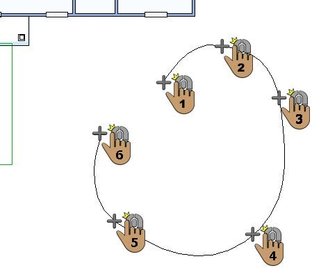
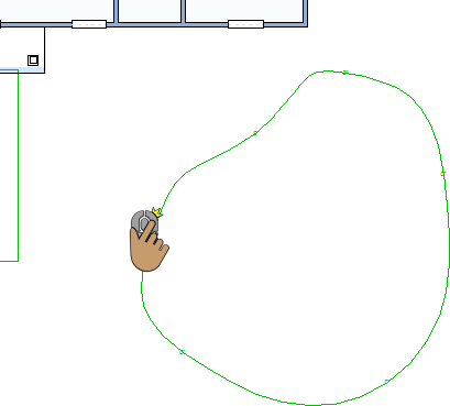
3 Use the Define 2D Shape drawing method to draw the topography.
 |
 |
|---|---|
This example shows a railing drawn using the Closed Curve Polygon shape