Import Terrain

Default UI Menu: Architecture/Import Terrain
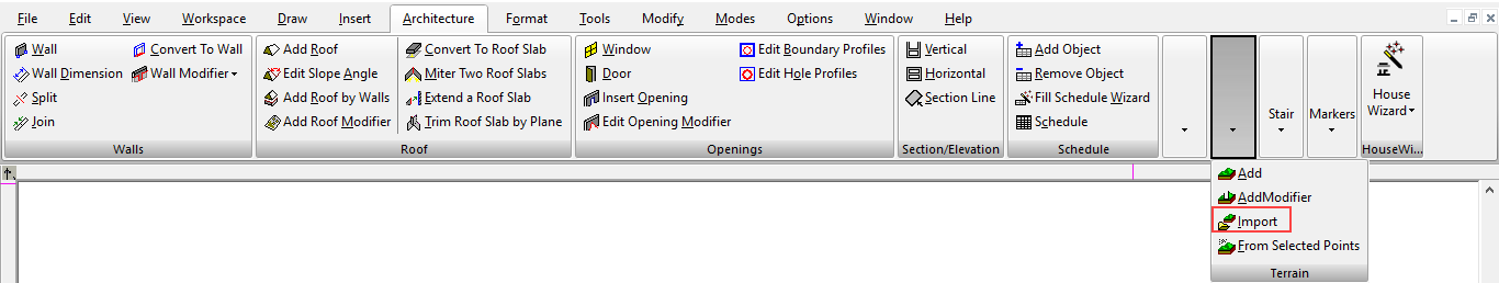
Ribbon UI Menu:
Terrain data you can import must be listed in a .txt or .xyz file. The format for each coordinate should be X, Y, and Z values, separated by commas or spaces. Activate Import Terrain, and define the original point. This is where the center of the terrain will be placed. Then select the data file.